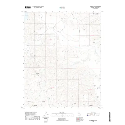
2018 Map of Los Banos Valley
USGS Topo · Published 2018About this map
Los Banos Valley and the surrounding heights of the Diablo Range define this portion of Merced County. The landscape is marked by a network of drainage systems, including the N Fork Los Banos Cr and S Fork Los Banos Cr, which carve through prominent elevations such as Mustang Ridge and Sweeney Hill. These watercourses eventually reach Lone Oak Bay in the northwest.
Find a feature on this map
32 named features on this map. Tap any name to fly to it.
Don’t see what you’re looking for? This feature index may not catch every label — zoom into the map to look around manually.
Map Details
Editions of this 2018 Los Banos Valley Map
This is the sole edition of this map. No revisions or reprints were ever made.
Other maps of this area

1913 · Panoche
USGS Topo · 1:125,000

1920 · Pacheco Pass
USGS Topo · 1:62,500

1920 · Carrisalito Spring
USGS Topo · 1:31,680

1921 · Volta
USGS Topo · 1:31,680

1922 · Quien Sabe
USGS Topo · 1:62,500

1922 · San Luis Creek
USGS Topo · 1:31,680

1922 · Ortigalita
USGS Topo · 1:31,680

1940 · Pacheco Pass
USGS Topo · 1:62,500

1940 · Quien Sabe
USGS Topo · 1:62,500

1943 · Ortigalita Peak
USGS Topo · 1:62,500