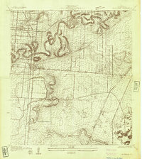
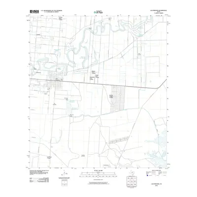
1930 Map of Los Fresnos
USGS Topo · Published 1930About this map
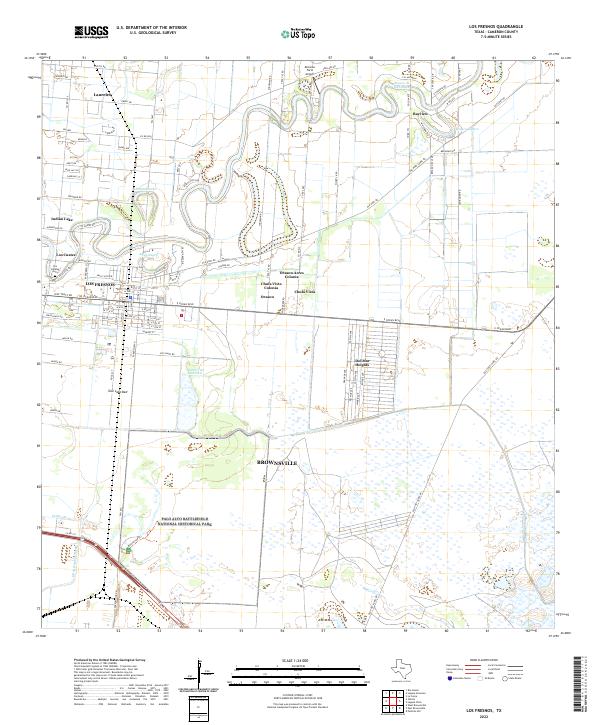
Palo Alto Battlefield Monument marks a site of significant regional heritage in the southern reaches of the Rio Grande Valley during this 1930 survey. The landscape is defined by the winding course of the Resaca de los Fresnos, which meanders through the coastal plain and dictates the layout of local roads and settlements. The town of Los Fresnos serves as a central hub, supported by the Los Fresnos Sch and nearby White House Sch.
Find a feature on this map
12 named features on this map. Tap any name to fly to it.
Don’t see what you’re looking for? This feature index may not catch every label — zoom into the map to look around manually.
Map Details
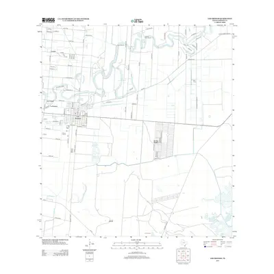
Editions of this 1930 Los Fresnos Map
This is the sole edition of this map. No revisions or reprints were ever made.
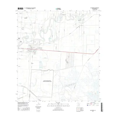
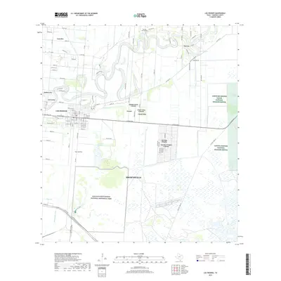
Historical Maps of Brownsville Through Time
9 maps found
1930 Los Fresnos
Cameron County, TX
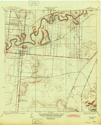
1936 Los Fresnos
Cameron County, TX
1955 Los Fresnos
Cameron County, TX
1956 Los Fresnos
Cameron County, TX
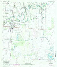
2010 Los Fresnos
Cameron County, TX
2013 Los Fresnos
Cameron County, TX
2016 Los Fresnos
Cameron County, TX
2019 Los Fresnos
Cameron County, TX
2022 Los Fresnos
Cameron County, TX