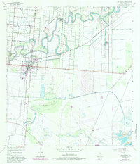
1955 Map of Los Fresnos
USGS Topo · Published 1984About this map
Palo Alto Battlefield dominates the southern landscape of this Cameron County survey, preserving the site of the first major engagement of the Mexican-American War. A Historical Monument marks the location amidst a complex network of hydraulic engineering, including an extensive aqueduct, numerous ditches, and a levee system designed to manage the Rio Grande delta’s variable water levels. The settlement of Los Fresnos serves as the central hub, supported by the Southern Pacific railroad and a grid of rural routes such as Henderson Road and Old Point Isabel Road. The map reveals a land defined by its resacas—former river channels—including the winding Resaca de los Cuates and Resaca de los Antonias. Smaller rural communities and named locales like Agua Negra, Charco Hondo, and Bayview illustrate the agricultural settlement patterns of the mid-20th century.
Find a feature on this map
32 named features on this map. Tap any name to fly to it.
Don’t see what you’re looking for? This feature index may not catch every label — zoom into the map to look around manually.
Map Details
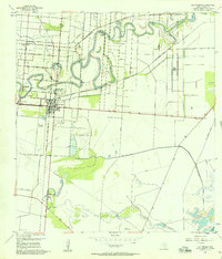
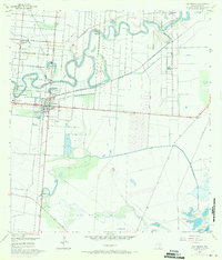
Editions of this 1955 Los Fresnos Map
3 editions found
Other maps of this area

1929 · Rio Hondo
USGS Topo · 1:24,000

1929 · La Coma
USGS Topo · 1:24,000

1929 · Palmito Hill
USGS Topo · 1:24,000

1929 · Laguna Vista
USGS Topo · 1:24,000

1930 · Los Fresnos
USGS Topo · 1:24,000

1930 · West Brownsville
USGS Topo · 1:24,000

1930 · Barreda
USGS Topo · 1:24,000

1930 · Laguna Atascosa
USGS Topo · 1:24,000

1930 · East Brownsville
USGS Topo · 1:24,000

1932 · Rio Hondo
USGS Topo · 1:31,680