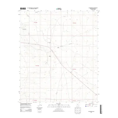
2013 Map of Los Medanos
USGS Topo · Published 2013About this map
James Ranch and the Los Medanos settlement anchor this portion of the Chihuahuan Desert landscape in southeastern New Mexico. The terrain is defined by the prominent Livingston Ridge, which runs through the northwest, overlooking a network of ranching and resource roads that crisscross the arid basin. This 2013 survey shows a landscape heavily influenced by the ranching industry and the modern energy economy, indicated by the proliferation of secondary routes like Mills Ranch Rd, Twin Wells Rd, and Delaware Basin Rd.
Find a feature on this map
15 named features on this map. Tap any name to fly to it.
Don’t see what you’re looking for? This feature index may not catch every label — zoom into the map to look around manually.
Map Details
Editions of this 2013 Los Medanos Map
This is the sole edition of this map. No revisions or reprints were ever made.
Other maps of this area

1939 · Nash Draw
USGS Topo · 1:62,500

1943 · Nash Draw
USGS Topo · 1:62,500

1954 · Hobbs
USGS Topo · 1:250,000

1958 · Hobbs
USGS Topo · 1:250,000

1963 · Hat Mesa
USGS Topo · 1:62,500
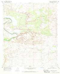
1968 · Pierce Canyon
USGS Topo · 1:24,000
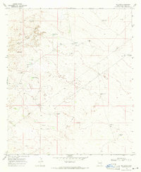
1968 · Big Sinks
USGS Topo · 1:24,000

1973 · Paduca Breaks NW
USGS Topo · 1:24,000

1978 · Jal
USGS Topo · 1:100,000
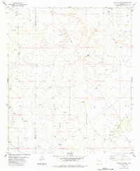
1984 · Bootleg Ridge
USGS Topo · 1:24,000