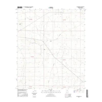
2017 Map of Los Medanos
USGS Topo · Published 2017About this map
Livingston Ridge and the Los Medanos area define this high-desert landscape in Eddy County. The 2017 survey shows a network of specialized access routes through the arid terrain, including Wipp Rd and Mills Ranch Rd, reflecting the modern industrial and ranching use of the land. The topography is marked by subtle elevation changes and the distinct escarpment of the ridge, while the naming of Twin Wells Rd points to the historical importance of water sources in this dry region. These roads and terrain features represent the contemporary infrastructure managed by the Bureau of Land Management, where legacy ranching operations meet current geological and environmental monitoring projects.
Find a feature on this map
13 named features on this map. Tap any name to fly to it.
Don’t see what you’re looking for? This feature index may not catch every label — zoom into the map to look around manually.
Map Details
Editions of this 2017 Los Medanos Map
This is the sole edition of this map. No revisions or reprints were ever made.
Other maps of this area

1939 · Nash Draw
USGS Topo · 1:62,500

1943 · Nash Draw
USGS Topo · 1:62,500

1954 · Hobbs
USGS Topo · 1:250,000

1958 · Hobbs
USGS Topo · 1:250,000

1963 · Hat Mesa
USGS Topo · 1:62,500
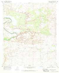
1968 · Pierce Canyon
USGS Topo · 1:24,000
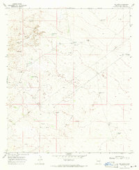
1968 · Big Sinks
USGS Topo · 1:24,000

1973 · Paduca Breaks NW
USGS Topo · 1:24,000

1978 · Jal
USGS Topo · 1:100,000
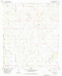
1984 · Bootleg Ridge
USGS Topo · 1:24,000