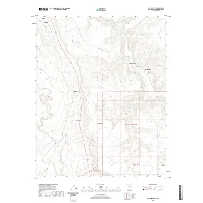
2020 Map of Los Montoyas
USGS Topo · Published 2020About this map
San Augustin and its nearby San Augustin Cem anchor the eastern drainage of the Gallinas River in this high-desert landscape of San Miguel County. The settlement pattern follows the drainage of the Tecolote Creek and its tributaries, where small communities like Los Montoyas, Myers, and Sheridan are situated along the valley floor. To the west, La Morada stands as a distinctive landmark overlooking the north-south transit corridor.
Find a feature on this map
28 named features on this map. Tap any name to fly to it.
Don’t see what you’re looking for? This feature index may not catch every label — zoom into the map to look around manually.
Map Details
Editions of this 2020 Los Montoyas Map
This is the sole edition of this map. No revisions or reprints were ever made.
Other maps of this area

1889 · Las Vegas
USGS Topo · 1:125,000

1890 · Bernal
USGS Topo · 1:125,000

1891 · Bernal
USGS Topo · 1:125,000

1891 · Las Vegas
USGS Topo · 1:125,000

1893 · Las Vegas
USGS Topo · 1:125,000

1894 · Bernal
USGS Topo · 1:125,000

1954 · Santa Fe
USGS Topo · 1:250,000

1958 · Santa Fe
USGS Topo · 1:250,000

1960 · Villanueva
USGS Topo · 1:62,500

1960 · Apache Springs
USGS Topo · 1:62,500