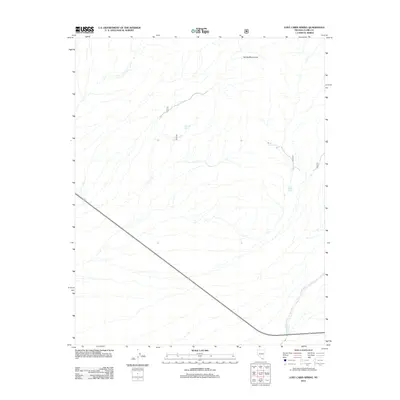
2012 Map of Lost Cabin Spring
USGS Topo · Published 2012About this map
Spring Mountains dominate this arid landscape, where the scarcity of water is reflected in the placement of vital water sources. Hidden within the topographic folds of the terrain, Lost Cabin Spring and Younts Spring provide critical landmarks for those navigating the high desert. The southern portion of the sheet is bisected by a major roadway, while the drainage of Lovell Wash carves a path through the southeastern corner near Lower Ranch Spring. The area's character is defined by a sparse network of service roads and designated trails, emphasizing its role as a corridor through the high-elevation wilderness of Clark County. This 2012 survey illustrates the fundamental relationship between topography and survival in the Great Basin, where named springs serve as the primary anchors for human activity and geographic navigation.
Find a feature on this map
9 named features on this map. Tap any name to fly to it.
Don’t see what you’re looking for? This feature index may not catch every label — zoom into the map to look around manually.
Map Details
Editions of this 2012 Lost Cabin Spring Map
This is the sole edition of this map. No revisions or reprints were ever made.
Other maps of this area

1907 · Las Vegas
USGS Topo · 1:250,000

1908 · Las Vegas
USGS Topo · 1:250,000

1910 · Ivanpah
USGS Topo · 1:250,000

1912 · Ivanpah
USGS Topo · 1:250,000

1942 · Ivanpah
USGS Topo · 1:250,000

1947 · Kingman
USGS Topo · 1:250,000

1948 · Kingman
USGS Topo · 1:250,000

1954 · Las Vegas
USGS Topo · 1:250,000

1954 · Kingman
USGS Topo · 1:250,000

1955 · Kingman
USGS Topo · 1:250,000