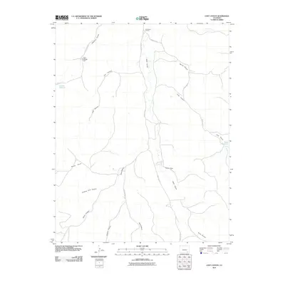
2010 Map of Lost Canyon
USGS Topo · Published 2010About this map
Cottonwood Crossing marks a key navigational point in this arid landscape of Las Animas County, where a network of county roads converges near the northern edge of the map. The terrain is defined by an intricate system of drainages, including the prominent Lost Canyon, Smith Canyon, and Long Canyon, which carve through the high plains toward the Purgatoire River basin. Water management is evident through scattered improvements such as Lawson Reservoir and Funk Reservoir, critical resources in a region characterized by features like Round Prairie and the evocatively named Stinking Hole Canyon. While largely unsettled, the map records names like Dave Wright Hill, reflecting the ranching history and family legacies that shaped this portion of southeastern Colorado. The road network, including County Rd 193.5 and County Rd 187.4, provides the primary framework for modern access through these remote canyons and draws.
Find a feature on this map
22 named features on this map. Tap any name to fly to it.
Don’t see what you’re looking for? This feature index may not catch every label — zoom into the map to look around manually.
Map Details
Editions of this 2010 Lost Canyon Map
This is the sole edition of this map. No revisions or reprints were ever made.
Other maps of this area

1891 · Higbee
USGS Topo · 1:125,000

1891 · Timpas
USGS Topo · 1:125,000

1891 · Mesa De Maya
USGS Topo · 1:125,000

1892 · Mt Carrizo
USGS Topo · 1:125,000

1893 · Higbee
USGS Topo · 1:125,000

1893 · Mesa de Maya
USGS Topo · 1:125,000

1894 · Timpas
USGS Topo · 1:125,000

1955 · La Junta
USGS Topo · 1:250,000

1958 · La Junta
USGS Topo · 1:250,000

1968 · La Junta
USGS Topo · 1:250,000