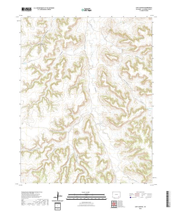
2022 Map of Lost Canyon
USGS Topo · Published 2022About this map
Eightmile Canyon and Lost Canyon dominate this part of Las Animas County, where a complex network of dry washes and high ground defines the landscape. The terrain is marked by significant topographical relief, including Dave Wright Hill and the uniquely named Stinking Hole Canyon. This area is characterized by its isolation and lack of concentrated settlement, with activity primarily indicated by a system of county roads such as Co RD 76.2 and Co RD 177.9 that traverse the canyon floors and ridges. Water management is evident through scattered infrastructure like Lawson Reservoir and Funk Reservoir, which serve as vital collection points in an otherwise arid environment. The map details a series of intersecting drainages, from Yeiser Canyon to Gowens Canyon, illustrating the erosional patterns that have shaped this high-plains territory.
Find a feature on this map
22 named features on this map. Tap any name to fly to it.
Don’t see what you’re looking for? This feature index may not catch every label — zoom into the map to look around manually.
Map Details
Editions of this 2022 Lost Canyon Map
This is the sole edition of this map. No revisions or reprints were ever made.
Other maps of this area

1891 · Higbee
USGS Topo · 1:125,000

1891 · Timpas
USGS Topo · 1:125,000

1891 · Mesa De Maya
USGS Topo · 1:125,000

1892 · Mt Carrizo
USGS Topo · 1:125,000

1893 · Higbee
USGS Topo · 1:125,000

1893 · Mesa de Maya
USGS Topo · 1:125,000

1894 · Timpas
USGS Topo · 1:125,000

1955 · La Junta
USGS Topo · 1:250,000

1958 · La Junta
USGS Topo · 1:250,000

1968 · La Junta
USGS Topo · 1:250,000