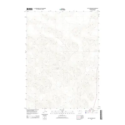
2014 Map of Lost Lake Ranch
USGS Topo · Published 2014About this map
Lost Lake Ranch sits at the heart of this landscape in Brown County, defined by a complex network of sandhills and depressions characteristic of the Nebraska Sandhills region. This 2014 survey documents a sparsely populated area where the primary human footprint is found along the eastern edge, marked by the route of Ne-7. The terrain is a labyrinth of closed basins and ridgelines, typical of this unique stabilized dune ecosystem where water drainage is localized and often subterranean. Beyond the ranch itself and the primary state highway, the map reveals an environment where topography dictates the land use, preserving a sense of isolation and focusing all transport and habitation on a few specific corridors.
Find a feature on this map
2 named features on this map. Tap any name to fly to it.
Don’t see what you’re looking for? This feature index may not catch every label — zoom into the map to look around manually.
Map Details
Editions of this 2014 Lost Lake Ranch Map
This is the sole edition of this map. No revisions or reprints were ever made.
Other maps of this area

1950 · Wood Lake
USGS Topo · 1:62,500

1951 · Moon Lake
USGS Topo · 1:62,500

1954 · Ainsworth SW
USGS Topo · 1:24,000

1954 · Ainsworth
USGS Topo · 1:24,000

1955 · O'Neill
USGS Topo · 1:250,000

1957 · Valentine
USGS Topo · 1:250,000

1959 · Valentine
USGS Topo · 1:250,000

1959 · O'Neill
USGS Topo · 1:250,000

1969 · O'Neill
USGS Topo · 1:250,000

1982 · Lost Lake Ranch
USGS Topo · 1:24,000