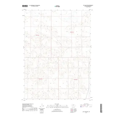
2017 Map of Lost Lake Ranch
USGS Topo · Published 2017About this map
The rolling sandhills of Brown County define this landscape at the intersection of several historic township boundaries. This 2017 study by the U.S. Department of the Interior and the U.S. Geological Survey covers the transition between T29n R23w, T29n R22w, T28n R23w, and T28n R22w. The terrain is characterized by a high density of small, isolated depressions and wetlands, particularly visible in the northern sections. This specific concentration of interior basins suggests a complex local hydrology, where water collects in the hollows of the dunes without a centralized drainage system. The map provides a clear look at the Public Land Survey System (PLSS) grid across these undulating plains, a vital resource for tracing land ownership and ranching boundaries in this part of Nebraska.
Find a feature on this map
4 named features on this map. Tap any name to fly to it.
Don’t see what you’re looking for? This feature index may not catch every label — zoom into the map to look around manually.
Map Details
Editions of this 2017 Lost Lake Ranch Map
This is the sole edition of this map. No revisions or reprints were ever made.
Other maps of this area

1950 · Wood Lake
USGS Topo · 1:62,500

1951 · Moon Lake
USGS Topo · 1:62,500

1954 · Ainsworth SW
USGS Topo · 1:24,000

1954 · Ainsworth
USGS Topo · 1:24,000

1955 · O'Neill
USGS Topo · 1:250,000

1957 · Valentine
USGS Topo · 1:250,000

1959 · Valentine
USGS Topo · 1:250,000

1959 · O'Neill
USGS Topo · 1:250,000

1969 · O'Neill
USGS Topo · 1:250,000

1982 · Lost Lake Ranch
USGS Topo · 1:24,000