2024 Map of Lost Mountain
USGS Topo · Published 2024About this map
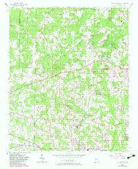
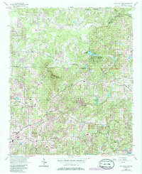
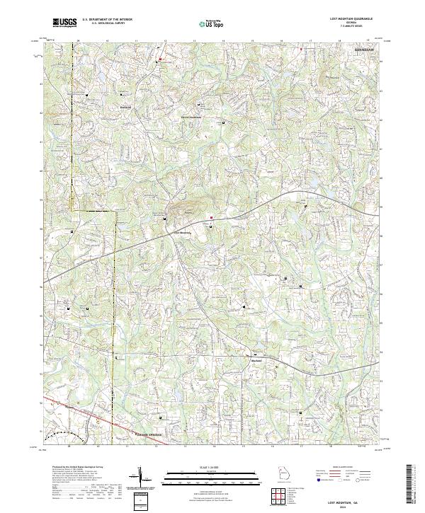
Lost Mountain rises as a prominent landmark in western Cobb County, serving as a focal point for a landscape defined by its network of historic family cemeteries and small rural settlements. This modern survey illustrates the persistent importance of local heritage, documenting numerous burial sites such as the Shipp - Old Lost Mountain Cem, Davis Family Cem Number 2, and the County Line United Methodist Church Cem. The area is characterized by the headwaters of several drainages, including Little Allatoona Creek and Mud Creek, which have been modified over time to create local water features like Mud Cr Lake and Lake Lucile. Significant thoroughfares like Macland Rd and Old Dallas Rd connect established communities like Macland and Davis Crossroads, reflecting the suburban evolution of this region while maintaining its historical geographic markers.
Find a feature on this map
50 named features on this map. Tap any name to fly to it.
Don’t see what you’re looking for? This feature index may not catch every label — zoom into the map to look around manually.
Map Details
Editions of this 2024 Lost Mountain Map
This is the sole edition of this map. No revisions or reprints were ever made.
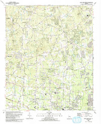
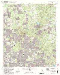
Historical Maps of Kennesaw Through Time
6 maps found