
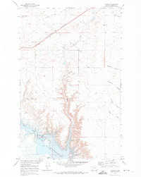
1970 Map of Lothair SW
USGS Topo · Published 1973About this map
Tiber Reservoir dominates this high plains landscape, formed where the Marias River was dammed in the decades following World War II. The map details a complex shoreline where the rising waters inundated the original river valley, creating deep inlets at Emerson Coulee and Bishop Coulee. Much of the surrounding terrain is marked by fine red dashed lines indicating selected fence lines, a testament to the large-scale ranching and land divisions in Liberty County.
Find a feature on this map
10 named features on this map. Tap any name to fly to it.
Don’t see what you’re looking for? This feature index may not catch every label — zoom into the map to look around manually.
Map Details
Editions of this 1970 Lothair SW Map
This is the sole edition of this map. No revisions or reprints were ever made.
Other maps of this area

1954 · Shelby
USGS Topo · 1:250,000

1958 · Shelby
USGS Topo · 1:250,000

1970 · Carlson Coulee
USGS Topo · 1:24,000

1970 · Knees NE
USGS Topo · 1:24,000

1970 · Uphill Creek
USGS Topo · 1:24,000

1970 · Sagebrush Coulee
USGS Topo · 1:24,000

1970 · Pondera School
USGS Topo · 1:24,000

1970 · Galata
USGS Topo · 1:24,000
1970 · Lothair
USGS Topo · 1:24,000
1970 · Tiber Dam
USGS Topo · 1:24,000