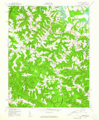
1944 Map of Lottsburg
USGS Topo · Published 1961About this map
Lodge Creek and the intricate fingers of Wrights Cove define the northern reaches of this coastal Virginia landscape, where the tides of the Potomac influence meet the agricultural interior of the Northern Neck. The settlement pattern of the 1940s is anchored by crossroads communities such as Lottsburg and Callao, connected by a network of roads that wind around the deep-cut ravines of Totuskey Creek and Bookers Mill Stream. These watercourses were clearly vital to early industry, as evidenced by multiple impoundments including Courtney Millpond, Headleys Millpond, and Fallins Millpond. Local social life is preserved through the locations of numerous country churches like Melrose Ch and Zion Ch, as well as the Holly Sch. The map also captures several family-named landmarks like Walkers Corner and Gillick Corner near the boundary between Northumberland and Richmond counties.
Find a feature on this map
46 named features on this map. Tap any name to fly to it.
Don’t see what you’re looking for? This feature index may not catch every label — zoom into the map to look around manually.
Map Details
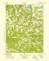
Editions of this 1944 Lottsburg Map
2 editions found
Other maps of this area

1892 · Piney Point
USGS Topo · 1:62,500

1894 · Piney Point
USGS Topo · 1:62,500

1894 · Point Lookout
USGS Topo · 1:62,500

1895 · Nomini
USGS Topo · 1:125,000

1895 · Piney Point
USGS Topo · 1:62,500

1898 · Nomini
USGS Topo · 1:125,000

1898 · St. Marys
USGS Topo · 1:125,000

1901 · Piney Point
USGS Topo · 1:62,500

1906 · St. Marys
USGS Topo · 1:125,000

1912 · Point Lookout
USGS Topo · 1:62,500