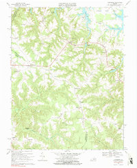
1968 Map of Lottsburg
USGS Topo · Published 1990About this map
Tidewater's Northern Neck is defined here by a dense network of tidal creeks and fingers of land between the Potomac and Rappahannock watersheds. The settlement at Callao serves as a central crossroads, where small commercial nodes and residential clusters like Lottsburg and Village are linked by a transition from forested ravines to open fields. The map is particularly rich in local nomenclature, showing numerous family-named landmarks such as Luttrellville, Burtons Corner, and Walkers Corner, which reflect generations of family landholdings in Northumberland and Richmond counties.
Find a feature on this map
49 named features on this map. Tap any name to fly to it.
Don’t see what you’re looking for? This feature index may not catch every label — zoom into the map to look around manually.
Map Details
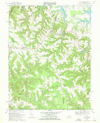
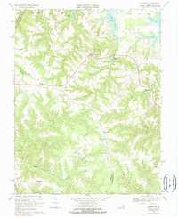
Editions of this 1968 Lottsburg Map
Other maps of this area

1892 · Piney Point
USGS Topo · 1:62,500

1894 · Piney Point
USGS Topo · 1:62,500

1894 · Point Lookout
USGS Topo · 1:62,500

1895 · Nomini
USGS Topo · 1:125,000

1895 · Piney Point
USGS Topo · 1:62,500

1898 · Nomini
USGS Topo · 1:125,000

1898 · St. Marys
USGS Topo · 1:125,000

1901 · Piney Point
USGS Topo · 1:62,500

1906 · St. Marys
USGS Topo · 1:125,000

1912 · Point Lookout
USGS Topo · 1:62,500