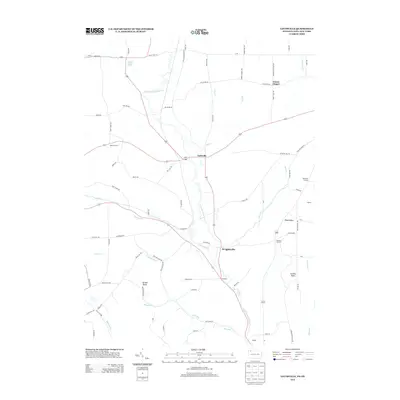
2013 Map of Lottsville
USGS Topo · Published 2013About this map
The Little Brokenstraw Cr valley serves as the primary drainage and orientation for this region of the Pennsylvania-New York border. Historically centered on small crossroads communities, the landscape is dotted with long-established settlements like Lottsville, Wrightsville, and Freehold. These hamlets developed around a network of early rural routes, including the Lottsville-Niobe Rd and Grant Price Hl.
Find a feature on this map
83 named features on this map. Tap any name to fly to it.
Don’t see what you’re looking for? This feature index may not catch every label — zoom into the map to look around manually.
Map Details
Editions of this 2013 Lottsville Map
This is the sole edition of this map. No revisions or reprints were ever made.
Other maps of this area

1904 · Chautaqua
USGS Topo · 1:62,500

1905 · Clymer
USGS Topo · 1:62,500

1926 · Youngsville
USGS Topo · 1:62,500

1929 · Corry
USGS Topo · 1:48,000

1929 · Youngsville
USGS Topo · 1:62,500

1932 · Corry
USGS Topo · 1:62,500

1939 · Clymer
USGS Topo · 1:62,500

1941 · Chautauqua
USGS Topo · 1:62,500

1941 · Clymer
USGS Topo · 1:62,500

1943 · Youngsville
USGS Topo · 1:62,500