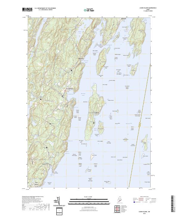
2024 Map of Louds Island
USGS Topo · Published 2024About this map
Louds Island and the jagged Lincoln County coast define this maritime landscape, where the settlement of Loudville remains a central geographic marker. The island sits between Muscongus Harbor and the Muscongus Bay, flanked by a complex network of granite hazards like Cow Island Sunken Ledges and Halftide Ledge. On the mainland, the village of Round Pond serves as a protected anchorage, while the road network connecting Muscongus and Chamberlain reveals a pattern of historic coastal habitation. Genealogists will find numerous family-centric burial grounds throughout the peninsula, including Maple Grove Cem, Elliott Cem, and the Poole Greenlaw Cem. The presence of the Petit Manan National Wildlife Refuge and Franklin Island National Wildlife Refuge underscores the shift toward coastal conservation in this longstanding fishing and seafaring region.
Find a feature on this map
145 named features on this map. Tap any name to fly to it.
Don’t see what you’re looking for? This feature index may not catch every label — zoom into the map to look around manually.
Map Details
Editions of this 2024 Louds Island Map
This is the sole edition of this map. No revisions or reprints were ever made.
Other maps of this area

1893 · Wiscasset
USGS Topo · 1:62,500

1893 · Boothbay
USGS Topo · 1:62,500

1904 · Monhegan
USGS Topo · 1:62,500

1906 · Monhegan
USGS Topo · 1:62,500

1913 · Waldoboro
USGS Topo · 1:48,000

1915 · Waldoboro
USGS Topo · 1:62,500

1941 · Waldoboro
USGS Topo · 1:62,500

1941 · Boothbay
USGS Topo · 1:62,500

1943 · Boothbay
USGS Topo · 1:62,500

1944 · Wiscasset
USGS Topo · 1:62,500