Loading...
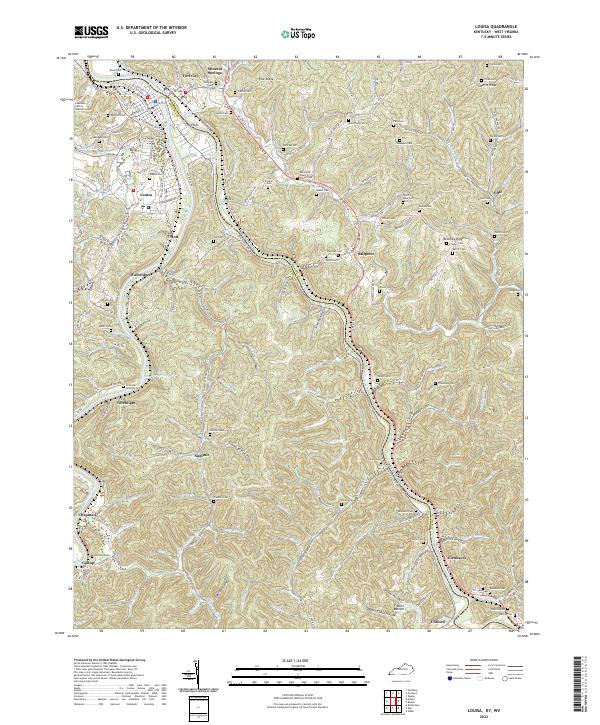
Loading map...2022 Map of Louisa
USGS Topo · Published 2022About this map
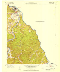
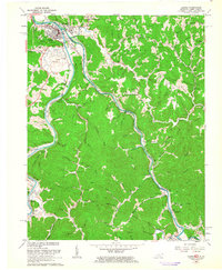
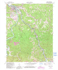
The Point marks the confluence of the Tug River and the Levisa Fork to form the Big Sandy River, a natural boundary between Kentucky and West Virginia. This region is defined by deep river valleys and high ridges like Pine Ridge and Bromley Ridge, where numerous small settlements and family cemeteries are tucked into the hollows. The town of Louisa serves as a hub for the area, featuring landmarks like the Lawrence County Judicial Center and Tower Hill.
Find a feature on this map
176 named features on this map. Tap any name to fly to it.
Don’t see what you’re looking for? This feature index may not catch every label — zoom into the map to look around manually.
Map Details
Date Portrayed2022
Date Published2022
PublisherU.S. Geological Survey
Map TypeTopographic
Scale1:24000
Physical Dimensions24 x 29 inches
Editions of this 2022 Louisa Map
This is the sole edition of this map. No revisions or reprints were ever made.
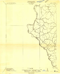
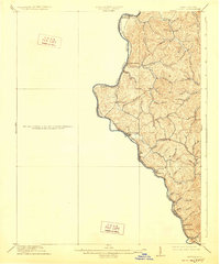
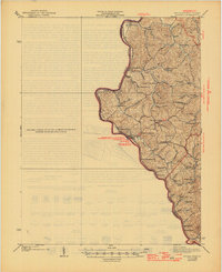
Historical Maps of Torchlight Through Time
7 maps found
Featured Locations
Source Details
SourceU.S. Geological Survey
CopyrightPublic Domain