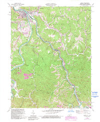
1971 Map of Louisa
USGS Topo · Published 1993About this map
Louisa and Fort Gay stand at the confluence of the Levisa Fork and Tug Fork, where they join to form the Big Sandy River. This 1971 revision illustrates a complex landscape of river-valley settlements and upland industrial activity. The Chesapeake and Ohio railroad tracks follow the western riverbank through Burgess and Holt, while the Norfolk and Western line services the eastern side near Glenhayes. Large-scale strip mines are visible in the southwestern hills near Torchlight, indicating the region's intensive coal production. Small mountain communities and family-named landmarks like Saltpetre and Wilson Chapel are scattered across the ridgelines of Butler and Lincoln, connected by winding hollows such as Maynard Branch and Threemile Creek. Genealogists will find numerous small burial sites, including Greenlawn Cem, Frasher Cem, and Vinson Cem, documenting the area's ancestral roots.
Find a feature on this map
87 named features on this map. Tap any name to fly to it.
Don’t see what you’re looking for? This feature index may not catch every label — zoom into the map to look around manually.
Map Details
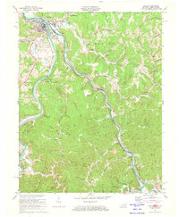
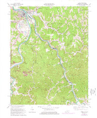
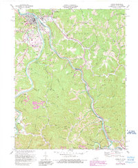
Editions of this 1971 Louisa Map
4 editions found
Other maps of this area

1886 · Prestonsburg
USGS Topo · 1:125,000

1887 · Warfield
USGS Topo · 1:125,000

1891 · Warfield
USGS Topo · 1:125,000

1892 · Prestonsburg
USGS Topo · 1:125,000

1892 · Huntington
USGS Topo · 1:125,000

1898 · Huntington
USGS Topo · 1:125,000

1903 · Kenova
USGS Topo · 1:125,000

1904 · Kenova
USGS Topo · 1:125,000

1909 · Wayne
USGS Topo · 1:62,500

1910 · Naugatuck
USGS Topo · 1:48,000