Loading...
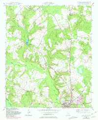
Loading map...1948 Map of Louisville
USGS Topo · Published 1981About this map
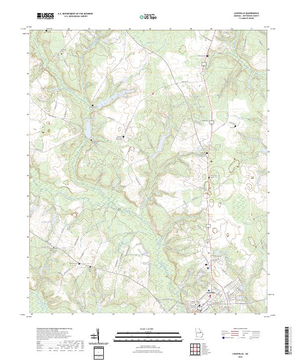
Louisville sits at the southern edge of this mid-century survey, positioned near the confluence of Rocky Comfort Creek and the Ogeechee River. The landscape north of the city is defined by a dense network of country roads and family-named landmarks, such as Clarks Mill Pond and Manson Spring. A distinct pattern of rural community life is visible through the numerous combined institutions like Pioneer Church and School, Garden Grove Church and School, and Galilee Church and School, which served the outlying agricultural populations.
Find a feature on this map
34 named features on this map. Tap any name to fly to it.
Don’t see what you’re looking for? This feature index may not catch every label — zoom into the map to look around manually.
Map Details
Date Portrayed1948
Date Published1981
PublisherU.S. Geological Survey
Map TypeTopographic
Scale1:24,000
Physical Dimensions22 x 26.9 inches
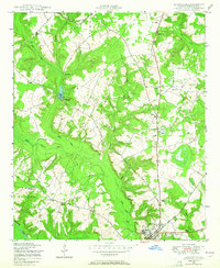
Editions of this 1948 Louisville Map
2 editions found
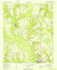
Historical Maps of Louisville Through Time
7 maps found
Featured Locations
Source Details
SourceU.S. Geological Survey
CopyrightPublic Domain