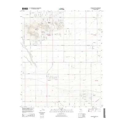
2015 Map of Lovejoy Buttes
USGS Topo · Published 2015About this map
Lake Los Angeles and Llano anchor this desert landscape in the Antelope Valley during the mid-2010s. The terrain is defined by the prominent Lovejoy Buttes, where Lovejoy Springs provides a rare point of natural hydration in an otherwise arid environment. The map details a transition from the structured residential grid of the planned community in the north to the more sparse, open allotments near the base of the mountains. Regional drainage is marked by the broad path of Big Rock Wash and the winding course of Rock Creek. Aviation is integral to the local infrastructure, represented by Nichols Farm Airport and Brian Ranch Airport, which reflect the area's history of private flight and desert homesteading. The interplay of named avenues and township boundaries highlights the ongoing development of this corner of Los Angeles County.
Find a feature on this map
98 named features on this map. Tap any name to fly to it.
Don’t see what you’re looking for? This feature index may not catch every label — zoom into the map to look around manually.
Map Details
Editions of this 2015 Lovejoy Buttes Map
This is the sole edition of this map. No revisions or reprints were ever made.
Other maps of this area

1901 · Southern California Sheet No. 1
USGS Topo · 1:250,000

1903 · Rock Creek
USGS Topo · 1:62,500

1903 · San Antonio
USGS Topo · 1:62,500

1904 · Southern California Sheet No. 1
USGS Topo · 1:250,000

1930 · Lovejoy Springs
USGS Topo · 1:24,000

1930 · Black Butte
USGS Topo · 1:24,000

1930 · Llano
USGS Topo · 1:24,000

1930 · Wilsona
USGS Topo · 1:24,000

1933 · Lovejoy Springs
USGS Topo · 1:24,000

1933 · Black Butte
USGS Topo · 1:24,000