
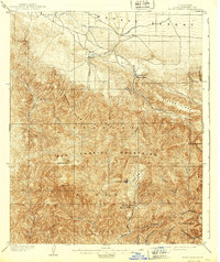
1903 Map of Rock Creek
USGS Topo · Published 1903About this map
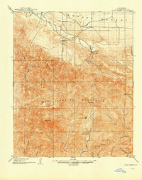
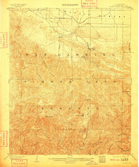
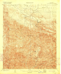
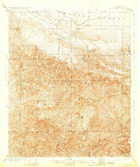
San Gabriel Timberland Reserve dominates this landscape at the dawn of the twentieth century, marking a pivotal moment in Southern California forest management. The survey captures the transition from the high Mojave Desert into the steep peaks of the San Gabriel Mountains. Small outposts and early resorts like Squirrel Inn and Big Rock Villa appear alongside the rugged canyons, while the drainage of Rock Creek and the San Gabriel River systems are meticulously mapped.
Find a feature on this map
34 named features on this map. Tap any name to fly to it.
Don’t see what you’re looking for? This feature index may not catch every label — zoom into the map to look around manually.
Map Details
Editions of this 1903 Rock Creek Map
6 editions found
Other maps of this area

1894 · Los Angeles
USGS Topo · 1:62,500

1894 · Pomona
USGS Topo · 1:62,500

1896 · Pasadena
USGS Topo · 1:62,500

1897 · Pomona
USGS Topo · 1:62,500

1897 · Cucamonga
USGS Topo · 1:62,500

1898 · Pomona
USGS Topo · 1:62,500

1900 · Pasadena
USGS Topo · 1:62,500

1900 · Tujunga
USGS Topo · 1:62,500

1900 · Los Angeles
USGS Topo · 1:62,500

1900 · Cucamonga
USGS Topo · 1:62,500