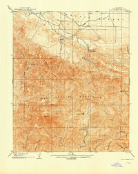
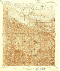
1903 Map of Rock Creek
USGS Topo · Published 1903About this map
The San Gabriel Mountains dominate this turn-of-the-century topographic survey, where high ridges separate the high desert from the river canyons of Los Angeles County. In the north, the transition to the Mohave Desert is marked by a network of ditches and a Reservoir near Pallett, reflecting early attempts to manage water in this arid landscape. Small settlements like Shoemaker and Big Rock Villa sit at the base of the mountains, while more remote outposts like Squirrel Inn and Sycamore Flat appear deep in the interior canyon country.
Find a feature on this map
36 named features on this map. Tap any name to fly to it.
Don’t see what you’re looking for? This feature index may not catch every label — zoom into the map to look around manually.
Map Details
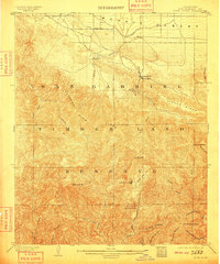
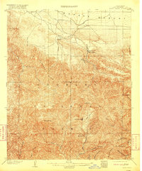
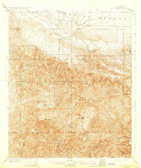
Editions of this 1903 Rock Creek Map
6 editions found

Other maps of this area

1894 · Los Angeles
USGS Topo · 1:62,500

1894 · Pomona
USGS Topo · 1:62,500

1896 · Pasadena
USGS Topo · 1:62,500

1897 · Pomona
USGS Topo · 1:62,500

1897 · Cucamonga
USGS Topo · 1:62,500

1898 · Pomona
USGS Topo · 1:62,500

1900 · Pasadena
USGS Topo · 1:62,500

1900 · Tujunga
USGS Topo · 1:62,500

1900 · Los Angeles
USGS Topo · 1:62,500

1900 · Cucamonga
USGS Topo · 1:62,500