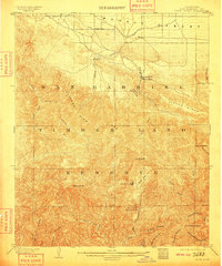
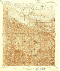
1903 Map of Rock Creek
USGS Topo · Published 1909About this map
San Gabriel Timber Land Reserve dominates the southern landscape of this turn-of-the-century survey, documenting a rugged wilderness before modern recreational development. Settlement is sparse, clustered primarily at the desert edge where Big Rock Creek leaves the mountains, noted by early outposts like Pallett, Big Rock Villa, and Shoemaker. The map traces the intricate drainage systems of the San Gabriel River, including the West Fork, North Fork, and Iron Fork, providing a foundational view of the region's watersheds. High-altitude landmarks such as Mt. Islip, Waterman Mt., and North Baldy are carefully documented alongside geological curiosities like the Devils Punchbowl. For researchers, the presence of Squirrel Inn and Sycamore Flat offers evidence of early foothill habitation, while the transition into the Mohave Desert to the north is marked by a network of early trails and a solitary Reservoir fed by a Ditch.
Find a feature on this map
35 named features on this map. Tap any name to fly to it.
Don’t see what you’re looking for? This feature index may not catch every label — zoom into the map to look around manually.
Map Details
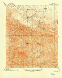
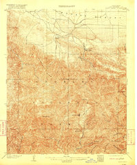
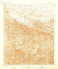
Editions of this 1903 Rock Creek Map
6 editions found

Other maps of this area

1894 · Los Angeles
USGS Topo · 1:62,500

1894 · Pomona
USGS Topo · 1:62,500

1896 · Pasadena
USGS Topo · 1:62,500

1897 · Pomona
USGS Topo · 1:62,500

1897 · Cucamonga
USGS Topo · 1:62,500

1898 · Pomona
USGS Topo · 1:62,500

1900 · Pasadena
USGS Topo · 1:62,500

1900 · Tujunga
USGS Topo · 1:62,500

1900 · Los Angeles
USGS Topo · 1:62,500

1900 · Cucamonga
USGS Topo · 1:62,500