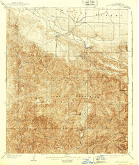
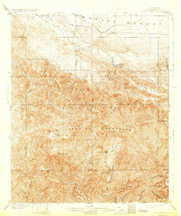
1903 Map of Rock Creek
USGS Topo · Published 1939About this map
The San Gabriel National Forest dominates this turn-of-the-century survey, revealing a landscape where the arid expanse of the Mohave Desert meets the steep drainages of the San Gabriel Mountains. High-elevation landmarks such as Mt. Baden-Powell and Waterman Mtn define the southern interior, providing the source for numerous water systems including the West Fork San Gabriel River and Rock Creek.
Find a feature on this map
37 named features on this map. Tap any name to fly to it.
Don’t see what you’re looking for? This feature index may not catch every label — zoom into the map to look around manually.
Map Details
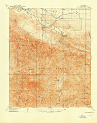
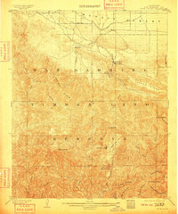
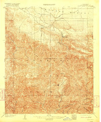
Editions of this 1903 Rock Creek Map
6 editions found

Other maps of this area

1894 · Los Angeles
USGS Topo · 1:62,500

1894 · Pomona
USGS Topo · 1:62,500

1896 · Pasadena
USGS Topo · 1:62,500

1897 · Pomona
USGS Topo · 1:62,500

1897 · Cucamonga
USGS Topo · 1:62,500

1898 · Pomona
USGS Topo · 1:62,500

1900 · Pasadena
USGS Topo · 1:62,500

1900 · Tujunga
USGS Topo · 1:62,500

1900 · Los Angeles
USGS Topo · 1:62,500

1900 · Cucamonga
USGS Topo · 1:62,500