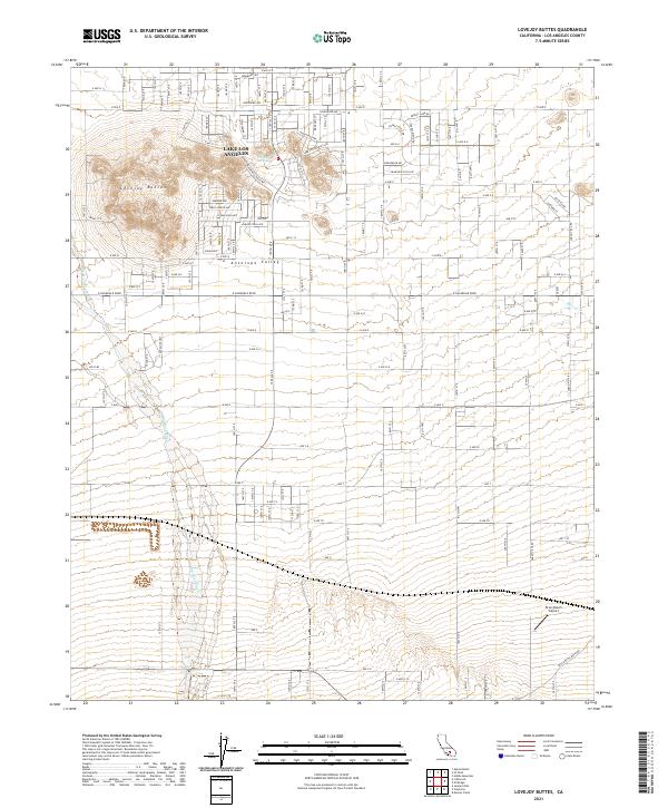
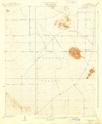
2021 Map of Lovejoy Buttes
USGS Topo · Published 2021About this map
Lake Los Angeles sits at the heart of this high-desert landscape within the Antelope Valley, where residential street grids meet the stark geological rises of the Lovejoy Buttes. The mapping reveals a distinct western-themed nomenclature in the local infrastructure, with roads like Mackennas Gold Ave, Rawhide Ave, and Jubilee Trail Ave suggesting the cultural character of this twentieth-century settlement.
Find a feature on this map
62 named features on this map. Tap any name to fly to it.
Don’t see what you’re looking for? This feature index may not catch every label — zoom into the map to look around manually.
Map Details
Editions of this 2021 Lovejoy Buttes Map
This is the sole edition of this map. No revisions or reprints were ever made.
Other maps of this area

1901 · Southern California Sheet No. 1
USGS Topo · 1:250,000
1903 · Rock Creek
USGS Topo · 1:62,500
1903 · San Antonio
USGS Topo · 1:62,500

1904 · Southern California Sheet No. 1
USGS Topo · 1:250,000
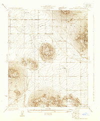
1930 · Lovejoy Springs
USGS Topo · 1:24,000
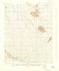
1930 · Black Butte
USGS Topo · 1:24,000
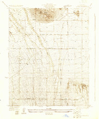
1930 · Llano
USGS Topo · 1:24,000
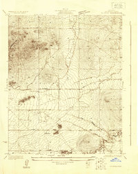
1930 · Wilsona
USGS Topo · 1:24,000
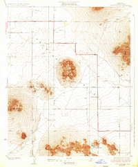
1933 · Lovejoy Springs
USGS Topo · 1:24,000
1933 · Black Butte
USGS Topo · 1:24,000