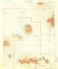
1933 Map of Lovejoy Springs
USGS Topo · Published 1943About this map
Antelope Valley's high-desert landscape is defined here by its isolated topographic rises and the nascent grid of the Los Angeles County road system. Surveyed in 1930 with revisions through 1941, the map shows the scattered development of the era, notably the Wilsona Sch and the curiously named Yato Kya Desert Home near the center of the sheet. The terrain is dominated by prominent clusters of buttes, including Piute Butte and Saddleback Butte, which served as critical landmarks for travelers navigating the arid flats. Water sources were essential for survival and settlement in this environment, as evidenced by the namesake Lovejoy Springs and the drainage of Big Rock Wash. The road network, including Tierra Bonita Road and several numbered avenues, suggests the early planning of this desert region before more intensive 20th-century growth.
Find a feature on this map
24 named features on this map. Tap any name to fly to it.
Don’t see what you’re looking for? This feature index may not catch every label — zoom into the map to look around manually.
Map Details
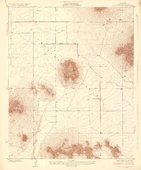
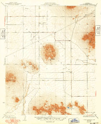
Editions of this 1933 Lovejoy Springs Map
4 editions found

Other maps of this area

1930 · Joshua
USGS Topo · 1:24,000

1930 · Lovejoy Springs
USGS Topo · 1:24,000

1930 · Black Butte
USGS Topo · 1:24,000

1930 · Little Rock
USGS Topo · 1:24,000

1930 · Llano
USGS Topo · 1:24,000

1930 · Casa Desierta
USGS Topo · 1:24,000

1930 · West Alpine Butte
USGS Topo · 1:24,000

1930 · Wilsona
USGS Topo · 1:24,000

1931 · Hi Vista
USGS Topo · 1:24,000

1933 · Casa Desierta
USGS Topo · 1:24,000