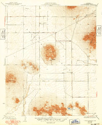
1933 Map of Lovejoy Springs
USGS Topo · Published 1949About this map
Antelope Valley transitions from a broad desert floor into a series of distinctive landforms in this survey, which includes culture revisions by Los Angeles County up to 1948. The map centers on the isolated peaks of Piute Butte and the Lovejoy Buttes, where the namesake Lovejoy Springs provides a rare water source in this arid landscape. A grid of early roads, including Tierra Bonita Road and Avenue K, begins to divide the land, though large tracts remain largely undeveloped.
Find a feature on this map
17 named features on this map. Tap any name to fly to it.
Don’t see what you’re looking for? This feature index may not catch every label — zoom into the map to look around manually.
Map Details
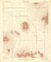
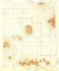
Editions of this 1933 Lovejoy Springs Map
4 editions found

Other maps of this area

1930 · Joshua
USGS Topo · 1:24,000

1930 · Lovejoy Springs
USGS Topo · 1:24,000

1930 · Black Butte
USGS Topo · 1:24,000

1930 · Little Rock
USGS Topo · 1:24,000

1930 · Llano
USGS Topo · 1:24,000

1930 · Casa Desierta
USGS Topo · 1:24,000

1930 · West Alpine Butte
USGS Topo · 1:24,000

1930 · Wilsona
USGS Topo · 1:24,000

1931 · Hi Vista
USGS Topo · 1:24,000

1933 · Casa Desierta
USGS Topo · 1:24,000