Loading...
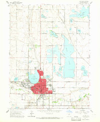
Loading map...1960 Map of Loveland
USGS Topo · Published 1965About this map
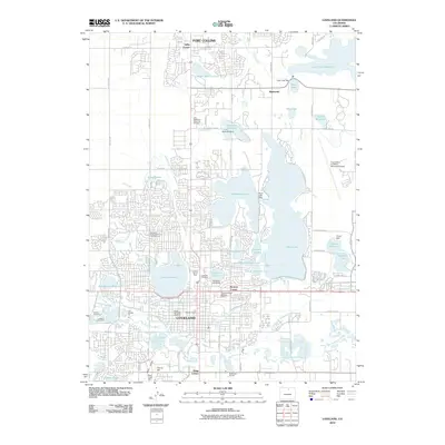
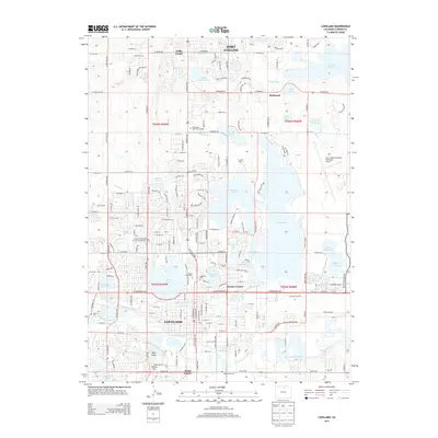
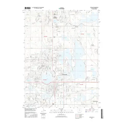
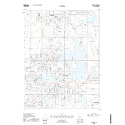
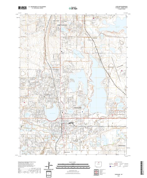
The Loveland city core and its complex hydraulic network dominate this 1960s study, revealing a landscape defined by the management of the Big Thompson River. The expansion of the city is captured as it pushes toward its City Boundary, supported by a dense industrial and transport framework including the Colorado and Southern and Union Pacific railroads. A prominent Sugar Refinery and several gravel pits south of the river indicate the local industrial base during this era.
Find a feature on this map
52 named features on this map. Tap any name to fly to it.
Don’t see what you’re looking for? This feature index may not catch every label — zoom into the map to look around manually.
Map Details
Date Portrayed1960
Date Published1965
PublisherU.S. Geological Survey
Map TypeTopographic
Scale1:24,000
Physical Dimensions22 x 26.9 inches
Editions of this 1960 Loveland Map
This is the sole edition of this map. No revisions or reprints were ever made.
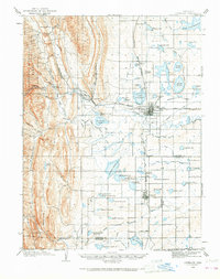
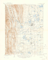
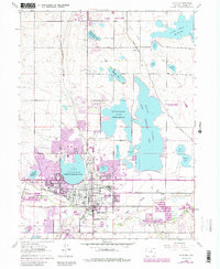
Historical Maps of Fort Collins Through Time
9 maps found
Featured Locations
Source Details
SourceU.S. Geological Survey
CopyrightPublic Domain