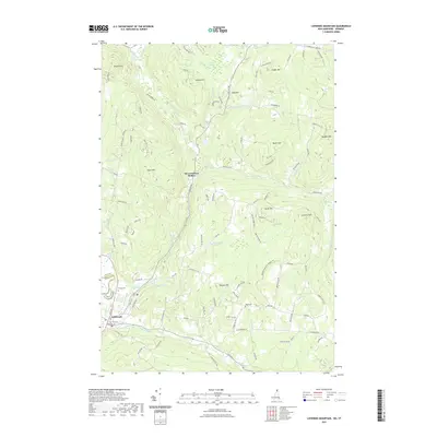
2021 Map of Lovering Mountain
USGS Topo · Published 2021About this map
Colebrook and Stewartstown Hollow anchor this survey of the North Country, where the landscape is defined by the high peaks of Lovering Mountain and Mudget Mountain. The terrain is deeply carved by water, with the Mohawk River flowing through the southern valley and numerous brooks such as Bishop Brook and Beaver Brook draining the uplands. Significant local water bodies including Ladd Pond, Matthews Pond, and Lombard Pond are central to the geography of the hills.
Find a feature on this map
103 named features on this map. Tap any name to fly to it.
Don’t see what you’re looking for? This feature index may not catch every label — zoom into the map to look around manually.
Map Details
Editions of this 2021 Lovering Mountain Map
This is the sole edition of this map. No revisions or reprints were ever made.
Other maps of this area

1925 · Indian Stream
USGS Topo · 1:48,000

1926 · Indian Stream
USGS Topo · 1:62,500

1927 · Indian Stream
USGS Topo · 1:62,500

1929 · Averill
USGS Topo · 1:62,500

1930 · Dixville
USGS Topo · 1:62,500

1933 · Dixville
USGS Topo · 1:62,500

1934 · Dixville
USGS Topo · 1:62,500

1949 · Jackman
USGS Topo · 1:250,000

1950 · Lewiston
USGS Topo · 1:250,000

1953 · Averill
USGS Topo · 1:62,500