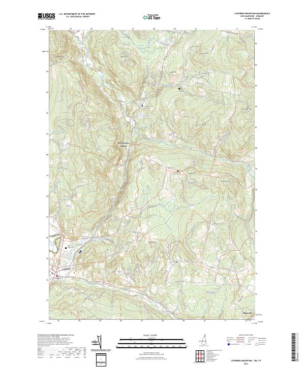
2024 Map of Lovering Mountain
USGS Topo · Published 2024About this map
Stewartstown Hollow and Colebrook anchor the western edge of this Coos County landscape, where the Vermont and New Hampshire border is defined by the course of the Mohawk River. The terrain is characterized by a series of prominent peaks and ridges, including Lovering Mtn, North Hill, and Mudget Mtn, which separate the various brook-carved valleys. A network of rural routes like Hollow Rd and Bear Rock Rd connects these high-elevation points with smaller settlements like Kidderville to the southeast.
Find a feature on this map
121 named features on this map. Tap any name to fly to it.
Don’t see what you’re looking for? This feature index may not catch every label — zoom into the map to look around manually.
Map Details
Editions of this 2024 Lovering Mountain Map
This is the sole edition of this map. No revisions or reprints were ever made.
Other maps of this area

1925 · Indian Stream
USGS Topo · 1:48,000

1926 · Indian Stream
USGS Topo · 1:62,500

1927 · Indian Stream
USGS Topo · 1:62,500

1929 · Averill
USGS Topo · 1:62,500

1930 · Dixville
USGS Topo · 1:62,500

1933 · Dixville
USGS Topo · 1:62,500

1934 · Dixville
USGS Topo · 1:62,500

1949 · Jackman
USGS Topo · 1:250,000

1950 · Lewiston
USGS Topo · 1:250,000

1953 · Averill
USGS Topo · 1:62,500