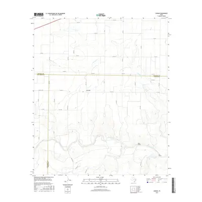
2016 Map of Lowake
USGS Topo · Published 2016About this map
Lowake sits at the intersection of farm-to-market roads in the heart of West Texas ranching country, where the borders of Runnels, Tom Green, and Concho Counties converge. The landscape is defined by the winding course of the Concho River as it flows through the southern portion of the sheet, carving out distinctive terrain features like Deep Hollow and Dry Hollow. This area represents a transition from the rolling plains into more rugged river breaks, where local hydrology is critical to the agricultural economy.
Find a feature on this map
42 named features on this map. Tap any name to fly to it.
Don’t see what you’re looking for? This feature index may not catch every label — zoom into the map to look around manually.
Map Details
Editions of this 2016 Lowake Map
This is the sole edition of this map. No revisions or reprints were ever made.
Other maps of this area

1891 · Hayrick
USGS Topo · 1:125,000

1892 · San Angelo
USGS Topo · 1:125,000

1892 · Eden
USGS Topo · 1:125,000

1892 · Ballinger
USGS Topo · 1:125,000

1894 · Hayrick
USGS Topo · 1:125,000

1896 · Eden
USGS Topo · 1:125,000

1921 · Baker Flat
USGS Topo · 1:31,680

1921 · Lowake
USGS Topo · 1:31,680

1921 · Spur Creek
USGS Topo · 1:31,680

1921 · Rowena
USGS Topo · 1:31,680