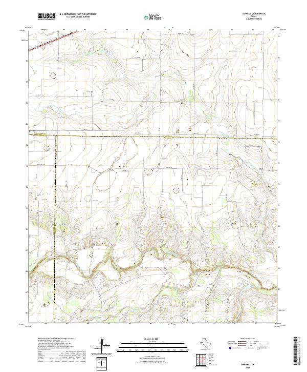
2022 Map of Lowake
USGS Topo · Published 2022About this map
Lowake serves as the central hub of this West Texas landscape, positioned where several regional routes converge near the intersection of FM 1929 W and FM 381. The geography is defined by the winding course of the Concho River, which meanders through the southern portion of the quadrangle, flanked by topographic features like Deep Hollow and Dry Hollow. To the north, the drainage of Little Concho Creek (also labeled as Little Concho Cr) cuts across the terrain, illustrating the riparian network essential to this ranching and agricultural region.
Find a feature on this map
43 named features on this map. Tap any name to fly to it.
Don’t see what you’re looking for? This feature index may not catch every label — zoom into the map to look around manually.
Map Details
Editions of this 2022 Lowake Map
This is the sole edition of this map. No revisions or reprints were ever made.
Other maps of this area

1891 · Hayrick
USGS Topo · 1:125,000

1892 · San Angelo
USGS Topo · 1:125,000

1892 · Eden
USGS Topo · 1:125,000

1892 · Ballinger
USGS Topo · 1:125,000

1894 · Hayrick
USGS Topo · 1:125,000

1896 · Eden
USGS Topo · 1:125,000

1921 · Baker Flat
USGS Topo · 1:31,680

1921 · Lowake
USGS Topo · 1:31,680

1921 · Spur Creek
USGS Topo · 1:31,680

1921 · Rowena
USGS Topo · 1:31,680