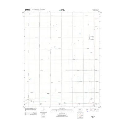
2012 Map of Lowe
USGS Topo · Published 2012About this map
Farmers Ditch cuts across this section of Finney County, illustrating the vital irrigation infrastructure necessary for agriculture on the High Plains. The landscape is defined by a rigorous section-line road grid, where long thoroughfares like W Miller Rd and N Sherlock Rd separate vast tracts of land. Small community centers and rail-adjacent points such as Lowe, Rodkey, and Brookover provide localized markers of settlement amidst the sprawling fields. Near the intersection of W Lowe Rd and N Chmelka Rd, the Toper Cem stands as a quiet genealogical record for local families. The presence of the Air-Ag Airport in the northeast and water features like McCoy Lake further highlight the intersection of specialized aviation and natural water management in this rural Kansas environment.
Find a feature on this map
37 named features on this map. Tap any name to fly to it.
Don’t see what you’re looking for? This feature index may not catch every label — zoom into the map to look around manually.
Map Details
Editions of this 2012 Lowe Map
This is the sole edition of this map. No revisions or reprints were ever made.
Other maps of this area

1891 · Larned
USGS Topo · 1:125,000

1896 · Garden
USGS Topo · 1:125,000

1900 · Lakin
USGS Topo · 1:125,000

1944 · Tennis
USGS Topo · 1:62,500

1955 · Dodge City
USGS Topo · 1:250,000

1955 · Scott City
USGS Topo · 1:250,000

1958 · Dodge City
USGS Topo · 1:250,000

1958 · Scott City
USGS Topo · 1:250,000

1959 · Dodge City
USGS Topo · 1:250,000

1960 · Garden City East
USGS Topo · 1:24,000