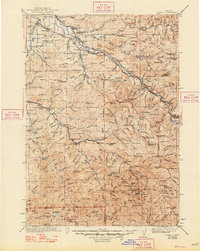
1942 Map of Lowell
USGS Topo · Published 1948About this map
The Middle Fork Willamette River serves as the central artery for this timber and rail landscape, where the Southern Pacific railroad follows the water through settlements like Dexter and Lowell. Surveyed in the mid-1930s, the map shows a network of remote fire lookouts and guard stations essential for forest management, including Castle Rock Lookout and the Musick Guard Sta.
Find a feature on this map
192 named features on this map. Tap any name to fly to it.
Don’t see what you’re looking for? This feature index may not catch every label — zoom into the map to look around manually.
Map Details
Editions of this 1942 Lowell Map
3 editions found

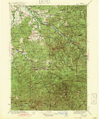
Other maps of this area

1897 · Roseburg
USGS Topo · 1:125,000

1900 · Roseburg
USGS Topo · 1:125,000

1910 · Eugene
USGS Topo · 1:62,500

1917 · Diamond Lake
USGS Topo · 1:125,000

1921 · Cottage Grove
USGS Topo · 1:62,500

1925 · Waldo Lake
USGS Topo · 1:125,000

1934 · Mc Kenzie Bridge
USGS Topo · 1:96,000

1935 · Lowell
USGS Topo · 1:96,000

1940 · Mc Kenzie Bridge
USGS Topo · 1:125,000

1940 · Eugene
USGS Topo · 1:62,500