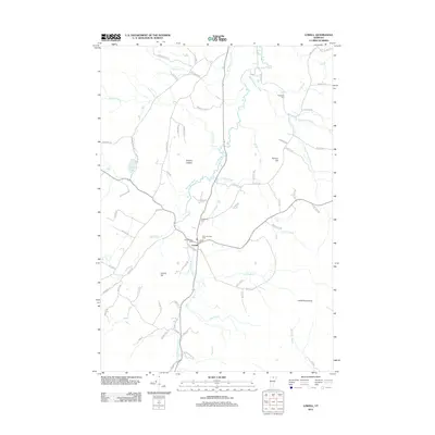
2012 Map of Lowell
USGS Topo · Published 2012About this map
Lowell and Lowell Plain serve as the primary settlement centers in this early 21st-century documentation of the upper Missisquoi River valley. The town layout is characterized by its proximity to several distinct burial grounds, including the Old Catholic Cem, St Ignatius Cem, and Mountainview Cem, providing significant geographical markers for local genealogy. The landscape is defined by the river’s confluence with the E Br Missisquoi River and Burgess Br, while the eastern horizon is dominated by the Lowell Mountains. The transport network of the era is remarkably detailed, recording numerous family-named routes such as Robtoy Rd, Diette Rd, and Lacross Rd that snake through the uplands near Farman Hill and Leland Hill. This mapping captures the rural character of the region, where numerous brooks like Taft Brook and Snider Brook carve through the terrain between Browns Ledges and McAllister Pond.
Find a feature on this map
74 named features on this map. Tap any name to fly to it.
Don’t see what you’re looking for? This feature index may not catch every label — zoom into the map to look around manually.
Map Details
Editions of this 2012 Lowell Map
This is the sole edition of this map. No revisions or reprints were ever made.
Other maps of this area

1919 · Montgomery
USGS Topo · 1:62,500

1920 · Montgomery
USGS Topo · 1:62,500

1920 · Irasburg
USGS Topo · 1:62,500

1923 · Irasburg
USGS Topo · 1:48,000

1925 · Irasburg
USGS Topo · 1:62,500

1925 · Jay Peak
USGS Topo · 1:62,500

1927 · Hyde Park
USGS Topo · 1:48,000

1928 · Hardwick
USGS Topo · 1:62,500

1930 · Hyde Park
USGS Topo · 1:62,500

1934 · Hardwick
USGS Topo · 1:48,000