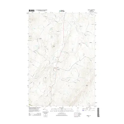
2015 Map of Lowell
USGS Topo · Published 2015About this map
Lowell serves as the central hub of this northern Vermont landscape, situated at the confluence of several mountain drainages where the Missisquoi River and E Br Missisquoi River begin their course. The settlement pattern is defined by the valley floor, with local history well-preserved in a cluster of burial grounds including St Ignatius Cem, Mountainview Cem, and Old Catholic Cem.
Find a feature on this map
74 named features on this map. Tap any name to fly to it.
Don’t see what you’re looking for? This feature index may not catch every label — zoom into the map to look around manually.
Map Details
Editions of this 2015 Lowell Map
This is the sole edition of this map. No revisions or reprints were ever made.
Other maps of this area

1919 · Montgomery
USGS Topo · 1:62,500

1920 · Montgomery
USGS Topo · 1:62,500

1920 · Irasburg
USGS Topo · 1:62,500

1923 · Irasburg
USGS Topo · 1:48,000

1925 · Irasburg
USGS Topo · 1:62,500

1925 · Jay Peak
USGS Topo · 1:62,500

1927 · Hyde Park
USGS Topo · 1:48,000

1928 · Hardwick
USGS Topo · 1:62,500

1930 · Hyde Park
USGS Topo · 1:62,500

1934 · Hardwick
USGS Topo · 1:48,000