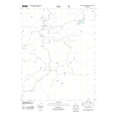
2011 Map of Lower Bowns Reservoir
USGS Topo · Published 2011About this map
Lower Bowns Reservoir and its associated Lower Bowns Dam anchor this high-elevation water management and recreation landscape in Garfield County. The 2011 survey reveals a complex network of reservoirs and natural lakes, including Oak Creek Reservoir, Round Lake, and Steep Creek Lake, which support the region's seasonal grazing and outdoor use. The map illustrates a transition from the structured water resources at Oak Creek Dam to the open grazing lands of Wildcat Pasture and Parks Pasture.
Find a feature on this map
48 named features on this map. Tap any name to fly to it.
Don’t see what you’re looking for? This feature index may not catch every label — zoom into the map to look around manually.
Map Details
Editions of this 2011 Lower Bowns Reservoir Map
This is the sole edition of this map. No revisions or reprints were ever made.
Other maps of this area

1885 · Fish Lake
USGS Topo · 1:250,000

1886 · Escalante
USGS Topo · 1:250,000

1896 · Fish Lake
USGS Topo · 1:250,000

1952 · Notom 3 SW
USGS Topo · 1:24,000

1952 · Notom 3 NW
USGS Topo · 1:24,000

1952 · Notom 4 NW
USGS Topo · 1:24,000

1952 · Notom 4 SW
USGS Topo · 1:24,000

1952 · Notom 3 SE
USGS Topo · 1:24,000

1952 · Notom 3 NE
USGS Topo · 1:24,000

1952 · Grover
USGS Topo · 1:62,500