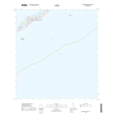
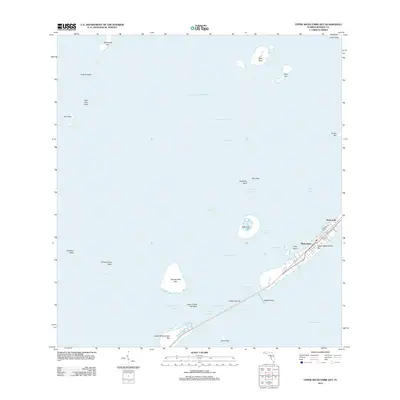
2018 Map of Lower Matecumbe Key
USGS Topo · Published 2018About this map
Islamorada, Village of Islands occupies the slender northern tip of Lower Matecumbe Key, where residential streets like Sapodilla Dr and Ponce De Leon Blvd reach toward the waters of Florida Bay. The landscape is defined by its transition from land to sea, featuring sheltered areas such as Matecumbe Harbor and Matecumbe Bight.
Find a feature on this map
24 named features on this map. Tap any name to fly to it.
Don’t see what you’re looking for? This feature index may not catch every label — zoom into the map to look around manually.
Map Details
Editions of this 2018 Lower Matecumbe Key Map
This is the sole edition of this map. No revisions or reprints were ever made.
Other maps of this area

1971 · Upper Matecumbe Key
USGS Topo · 1:24,000

1971 · Plantation Key
USGS Topo · 1:24,000

1971 · Long Key
USGS Topo · 1:24,000
1971 · Lower Matecumbe Key
USGS Topo · 1:24,000

1972 · Buchanan Keys
USGS Topo · 1:24,000

1983 · Islamorada
USGS Topo · 1:100,000

1989 · Key West
USGS Topo · 1:250,000
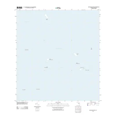
2012 · Buchanan Keys
USGS Topo · 1:24,000
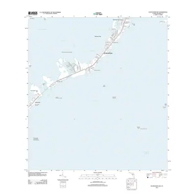
2012 · Plantation Key
USGS Topo · 1:24,000
2012 · Upper Matecumbe Key
USGS Topo · 1:24,000