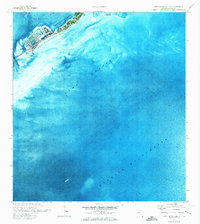
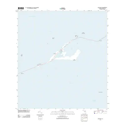
1971 Map of Lower Matecumbe Key
USGS Topo · Published 1973About this map
Lower Matecumbe Key stands at the center of this 1970s orthophotomap, showing a detailed aerial perspective of the Florida Keys' developmental and maritime character. The settlement pattern along the Overseas Highway is clearly visible, with residential canals and marinas cutting into the northern shoreline near Matecumbe Harbor and Matecumbe Bight. This period captures the island's transition into a modern recreational hub, evidenced by the Picnic Area and established coastal infrastructure.
Find a feature on this map
10 named features on this map. Tap any name to fly to it.
Don’t see what you’re looking for? This feature index may not catch every label — zoom into the map to look around manually.
Map Details
Editions of this 1971 Lower Matecumbe Key Map
This is the sole edition of this map. No revisions or reprints were ever made.
Other maps of this area

1971 · Upper Matecumbe Key
USGS Topo · 1:24,000

1971 · Plantation Key
USGS Topo · 1:24,000

1971 · Long Key
USGS Topo · 1:24,000

1972 · Buchanan Keys
USGS Topo · 1:24,000

1983 · Islamorada
USGS Topo · 1:100,000

1989 · Key West
USGS Topo · 1:250,000
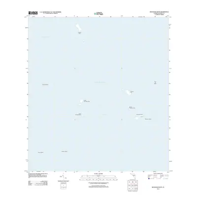
2012 · Buchanan Keys
USGS Topo · 1:24,000
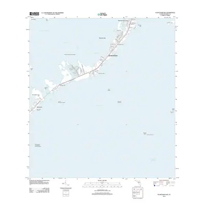
2012 · Plantation Key
USGS Topo · 1:24,000
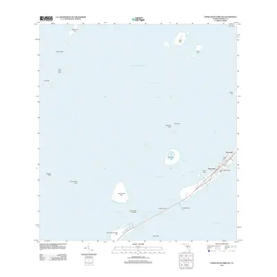
2012 · Upper Matecumbe Key
USGS Topo · 1:24,000
2012 · Long Key
USGS Topo · 1:24,000