Loading...
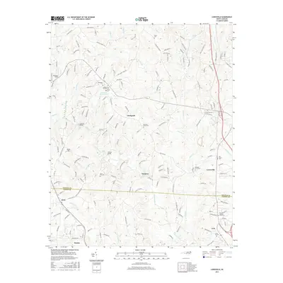
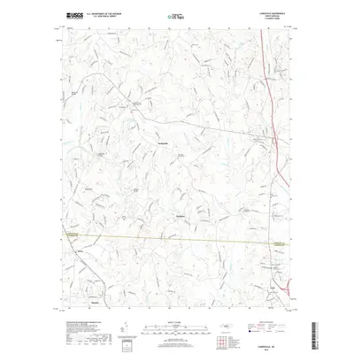
Loading map...2022 Map of Lowesville
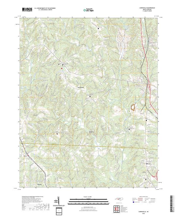
USGS Topo · Published 2022About this map
Catawba Springs and the surrounding woodlands of eastern Lincoln County define this landscape along the border with Gaston County. The area is characterized by a high concentration of generational burial grounds and religious sites, such as the Tuckers Grove Methodist Cem and the Machpelah Cem. The settlement of Machpelah serves as a central hub for the various creeks that drain the terrain, including Leepers Creek and Anderson Cr.
Find a feature on this map
170 named features on this map. Tap any name to fly to it.
Don’t see what you’re looking for? This feature index may not catch every label — zoom into the map to look around manually.
Map Details
Date Portrayed2022
Date Published2022
PublisherU.S. Geological Survey
Map TypeTopographic
Scale1:24,000
Physical Dimensions24 x 29 inches
Editions of this 2022 Lowesville Map
This is the sole edition of this map. No revisions or reprints were ever made.
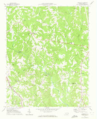
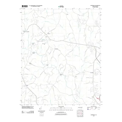
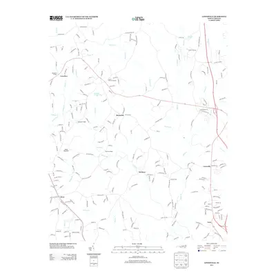
Historical Maps of Stanley Through Time
6 maps found
Featured Locations
Source Details
SourceU.S. Geological Survey
CopyrightPublic Domain