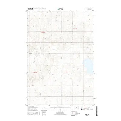
2015 Map of Lowry
USGS Topo · Published 2015About this map
The small settlement of Lowry serves as the focal point of this rural prairie landscape, positioned along the intersection of local routes like CR-242 and 143rd ST. This area of Walworth County is defined by a sparse but organized grid of section lines and gravel roads, reflecting a late-twentieth-century agrarian pattern that remains remarkably consistent into the modern era. The Lowry Cem is located just west of the town site, providing a primary point of interest for genealogists tracing families in this corner of South Dakota.
Find a feature on this map
24 named features on this map. Tap any name to fly to it.
Don’t see what you’re looking for? This feature index may not catch every label — zoom into the map to look around manually.
Map Details
Editions of this 2015 Lowry Map
This is the sole edition of this map. No revisions or reprints were ever made.
Other maps of this area
1953 · McIntosh
USGS Topo · 1:250,000
1954 · Aberdeen
USGS Topo · 1:250,000
1956 · Aberdeen
USGS Topo · 1:250,000
1958 · McIntosh
USGS Topo · 1:250,000
1968 · Akaska
USGS Topo · 1:24,000
1968 · Akaska NE
USGS Topo · 1:24,000
1970 · Lake Hurley NE
USGS Topo · 1:24,000
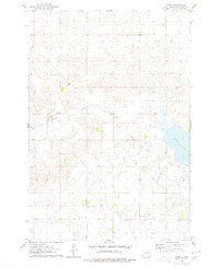
1974 · Lowry
USGS Topo · 1:24,000
1974 · Hoven
USGS Topo · 1:24,000
1974 · Hoven Muni. Airport
USGS Topo · 1:24,000