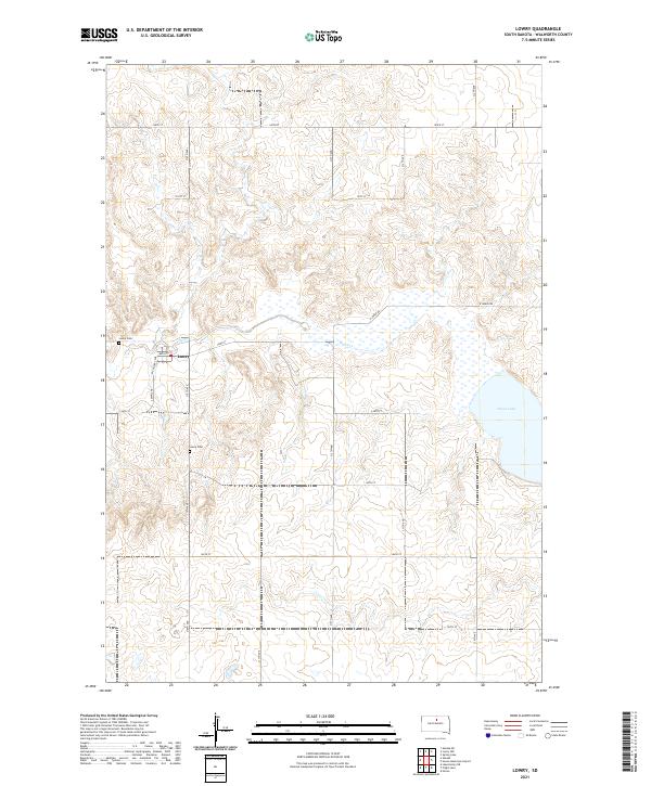
2021 Map of Lowry
USGS Topo · Published 2021About this map
The small community of Lowry sits at the heart of this Walworth County landscape, situated where Mc Gilvery Ave meets Main St. This agricultural region is defined by its subtle drainage patterns, most notably Swan Cr, which flows eastward toward the significant waters of Swan Lake. The landscape around the settlement is surveyed into a regular grid of section roads, including 143rd St and 310th Ave, reflecting the enduring Public Land Survey System. For those tracing local families, Lowry Cem is located just west of the town center, while a second site also labeled Lowry Cem appears further south near 145th St. The eastern portion of the sheet is dominated by the open waters and surrounding wetlands of the lake, providing a stark contrast to the surrounding upland prairie and farmsteads.
Find a feature on this map
24 named features on this map. Tap any name to fly to it.
Don’t see what you’re looking for? This feature index may not catch every label — zoom into the map to look around manually.
Map Details
Editions of this 2021 Lowry Map
This is the sole edition of this map. No revisions or reprints were ever made.
Other maps of this area

1953 · McIntosh
USGS Topo · 1:250,000

1954 · Aberdeen
USGS Topo · 1:250,000

1956 · Aberdeen
USGS Topo · 1:250,000

1958 · McIntosh
USGS Topo · 1:250,000

1968 · Akaska
USGS Topo · 1:24,000

1968 · Akaska NE
USGS Topo · 1:24,000

1970 · Lake Hurley NE
USGS Topo · 1:24,000

1974 · Lowry
USGS Topo · 1:24,000

1974 · Hoven
USGS Topo · 1:24,000

1974 · Hoven Muni. Airport
USGS Topo · 1:24,000