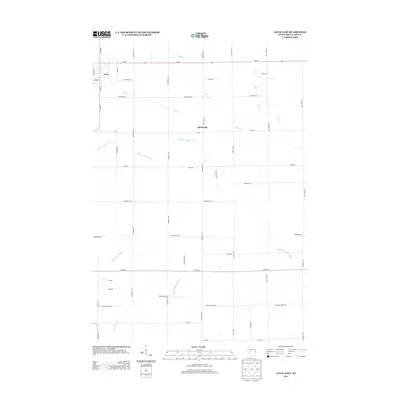
2013 Map of Loyal East
USGS Topo · Published 2013About this map
Loyal anchors the northwest corner of this agricultural landscape in central Wisconsin, where the town’s grid meets a network of country roads and winding waterways. The terrain is defined by the headwaters and branches of the O'Neill Creek system, including North Br O'Neill Cr and Middle Br O'Neill Cr, alongside the meandering South Br Yellow River. These streams dictated the early patterns of local settlement and land use across Clark County long before the modern roadway grid took shape.
Find a feature on this map
40 named features on this map. Tap any name to fly to it.
Don’t see what you’re looking for? This feature index may not catch every label — zoom into the map to look around manually.
Map Details
Editions of this 2013 Loyal East Map
This is the sole edition of this map. No revisions or reprints were ever made.
Other maps of this area

1953 · Neillsville
USGS Topo · 1:62,500

1953 · Abbotsford
USGS Topo · 1:48,000

1953 · Owen
USGS Topo · 1:48,000

1953 · Eau Claire
USGS Topo · 1:250,000

1954 · Granton
USGS Topo · 1:62,500

1958 · Eau Claire
USGS Topo · 1:250,000

1963 · Abbotsford
USGS Topo · 1:62,500

1963 · Owen
USGS Topo · 1:62,500

1964 · Eau Claire
USGS Topo · 1:250,000
1979 · Lindsey
USGS Topo · 1:24,000