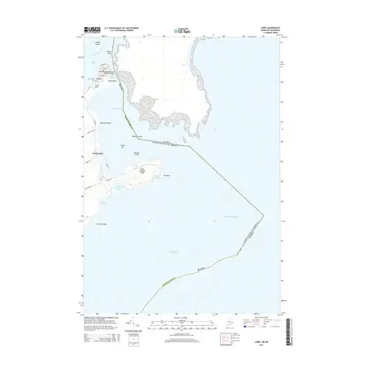
2014 Map of Lubec
USGS Topo · Published 2014About this map
West Quoddy Head marks the easternmost point of the contiguous United States, anchoring a landscape where the tidal forces of the Atlantic Ocean meet the Maine coast. This coastal survey documents the town of Lubec and its surrounding geography at the international boundary with Canada. The Franklin Delano Roosevelt Memorial Bridge spans the Lubec Narrows, providing a vital physical link between the mainland and the nearby islands. Further south, the map details the transition from the residential center at Lubec Neck to the more open terrain near South Lubec and Wallace Cove.
Find a feature on this map
37 named features on this map. Tap any name to fly to it.
Don’t see what you’re looking for? This feature index may not catch every label — zoom into the map to look around manually.
Map Details
Editions of this 2014 Lubec Map
This is the sole edition of this map. No revisions or reprints were ever made.
Other maps of this area
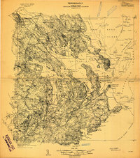
1907 · Eastport
USGS Topo · 1:48,000
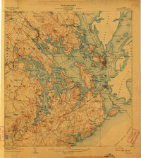
1908 · Eastport
USGS Topo · 1:62,500
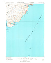
1917 · Cutler
USGS Topo · 1:62,500
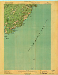
1918 · Cutler
USGS Topo · 1:62,500
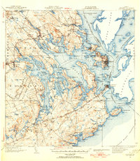
1943 · Eastport
USGS Topo · 1:62,500
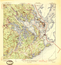
1945 · Eastport
USGS Topo · 1:62,500
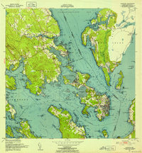
1949 · Eastport
USGS Topo · 1:24,000
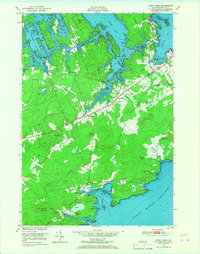
1949 · West Lubec
USGS Topo · 1:24,000
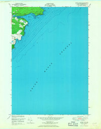
1949 · Moose River
USGS Topo · 1:24,000
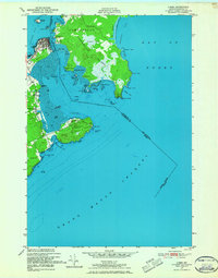
1949 · Lubec
USGS Topo · 1:24,000