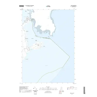
2021 Map of Lubec
USGS Topo · Published 2021About this map
Lubec occupies a prominent position on the Maine coast, situated where the Lubec Narrows separates the mainland from the international boundary. The town's grid of streets, including Washington St and Main St, extends toward Lubec Neck, while the Franklin Delano Roosevelt Memorial Bridge provides the vital connection eastward across the water. The coastline is defined by dramatic maritime features, from the tidal Lubec Channel and Middle Ground to the easternmost point at West Quoddy Head.
Find a feature on this map
36 named features on this map. Tap any name to fly to it.
Don’t see what you’re looking for? This feature index may not catch every label — zoom into the map to look around manually.
Map Details
Editions of this 2021 Lubec Map
This is the sole edition of this map. No revisions or reprints were ever made.
Other maps of this area

1907 · Eastport
USGS Topo · 1:48,000

1908 · Eastport
USGS Topo · 1:62,500

1917 · Cutler
USGS Topo · 1:62,500

1918 · Cutler
USGS Topo · 1:62,500

1943 · Eastport
USGS Topo · 1:62,500

1945 · Eastport
USGS Topo · 1:62,500

1949 · Eastport
USGS Topo · 1:24,000

1949 · West Lubec
USGS Topo · 1:24,000
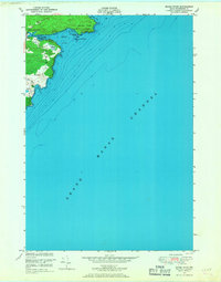
1949 · Moose River
USGS Topo · 1:24,000
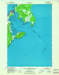
1949 · Lubec
USGS Topo · 1:24,000