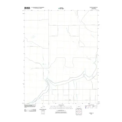
2010 Map of Lubers
USGS Topo · Published 2010About this map
Lubers serves as the focal point for this agrarian landscape in Bent County, where the management of water is central to the area's development. The presence of the Fort Lyon Canal Rd and Lubers Ditch underscores the region's reliance on irrigation systems to support its farming economy. To the south, the Lubers Drainage Ditch further illustrates this sophisticated hydraulic network. The terrain is marked by seasonal waterways like Prowers Arroyo and West Limestone Creek, which feed into the larger Limestone Creek system. A curious historical remnant appears in the naming of County Road Railroad, suggesting a vanished rail corridor that once linked these plains to broader markets. Local landmarks such as Jims Pond provide unique points of reference for those tracing family ties or land ownership in this corner of Colorado.
Find a feature on this map
25 named features on this map. Tap any name to fly to it.
Don’t see what you’re looking for? This feature index may not catch every label — zoom into the map to look around manually.
Map Details
Editions of this 2010 Lubers Map
This is the sole edition of this map. No revisions or reprints were ever made.
Other maps of this area

1891 · Las Animas
USGS Topo · 1:125,000

1892 · Lamar
USGS Topo · 1:125,000

1893 · Las Animas
USGS Topo · 1:125,000

1953 · Hasty
USGS Topo · 1:24,000

1953 · Prowers
USGS Topo · 1:24,000

1953 · Kreybill
USGS Topo · 1:24,000

1954 · Lamar
USGS Topo · 1:250,000

1955 · McClave
USGS Topo · 1:24,000

1955 · Tree Top Ranch
USGS Topo · 1:24,000

1955 · Lubers
USGS Topo · 1:24,000