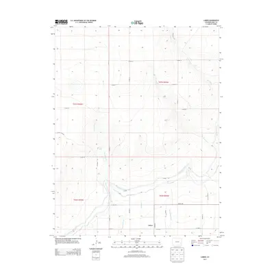
2013 Map of Lubers
USGS Topo · Published 2013About this map
Lubers sits at the intersection of a complex irrigation network in this high plains region of eastern Colorado. The landscape is defined by the engineering of water, with the Fort Lyon Canal and Kicking Bird Canal traversing the terrain to support agriculture. Smaller-scale water management is visible through Lubers Ditch and the Lubers Drainage Ditch, which channel resources through the flatlands surrounding the settlement. Natural drainage features like Prowers Arroyo and Limestone Cr cut across the geometric grid of county roads, illustrating the contrast between the natural topography and the established township and range system. This 2013 survey provides a clear view of how rural infrastructure and water rights have shaped the development of Lubers and its immediate surroundings.
Find a feature on this map
30 named features on this map. Tap any name to fly to it.
Don’t see what you’re looking for? This feature index may not catch every label — zoom into the map to look around manually.
Map Details
Editions of this 2013 Lubers Map
This is the sole edition of this map. No revisions or reprints were ever made.
Other maps of this area
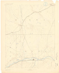
1891 · Las Animas
USGS Topo · 1:125,000
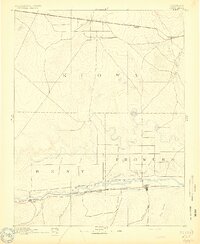
1892 · Lamar
USGS Topo · 1:125,000
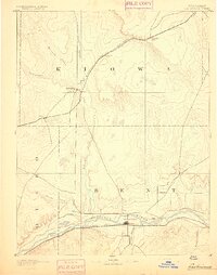
1893 · Las Animas
USGS Topo · 1:125,000
1953 · Hasty
USGS Topo · 1:24,000
1953 · Prowers
USGS Topo · 1:24,000
1953 · Kreybill
USGS Topo · 1:24,000
1954 · Lamar
USGS Topo · 1:250,000
1955 · McClave
USGS Topo · 1:24,000
1955 · Tree Top Ranch
USGS Topo · 1:24,000
1955 · Lubers
USGS Topo · 1:24,000