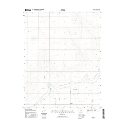
2016 Map of Lubers
USGS Topo · Published 2016About this map
Lubers sits at the heart of an intricate irrigation network in Bent County, defined by a series of significant water engineering projects. The landscape is primarily shaped by the Fort Lyon Canal and the Kicking Bird Canal, which snake across the terrain to support regional agriculture. Local water management is further evidenced by the Lubers Ditch and the Lubers Drainage Ditch, highlighting the critical role of water rights and transport in this High Plains environment. Natural drainage features such as Limestone Cr, W Limestone Cr, and Prowers Arroyo cut through the topography, leading toward the Arkansas River valley just beyond the map's southern edge. For those tracing the evolution of Colorado's water history, the map documents the alignment of these vital canals alongside county roads like Fort Lyon Canal Rd and Co RD 24.
Find a feature on this map
23 named features on this map. Tap any name to fly to it.
Don’t see what you’re looking for? This feature index may not catch every label — zoom into the map to look around manually.
Map Details
Editions of this 2016 Lubers Map
This is the sole edition of this map. No revisions or reprints were ever made.
Other maps of this area
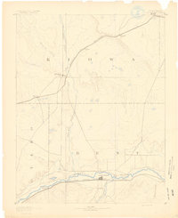
1891 · Las Animas
USGS Topo · 1:125,000
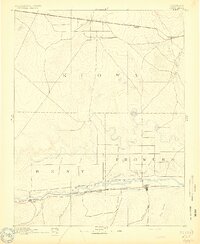
1892 · Lamar
USGS Topo · 1:125,000
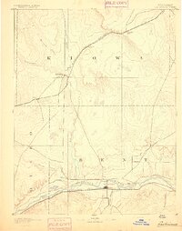
1893 · Las Animas
USGS Topo · 1:125,000
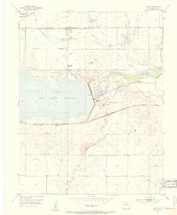
1953 · Hasty
USGS Topo · 1:24,000
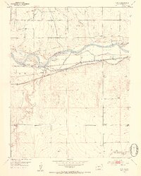
1953 · Prowers
USGS Topo · 1:24,000
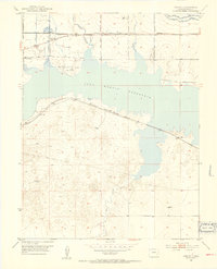
1953 · Kreybill
USGS Topo · 1:24,000
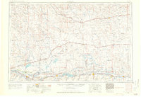
1954 · Lamar
USGS Topo · 1:250,000
1955 · McClave
USGS Topo · 1:24,000
1955 · Tree Top Ranch
USGS Topo · 1:24,000
1955 · Lubers
USGS Topo · 1:24,000