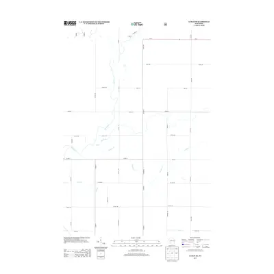
2013 Map of Lublin SE
USGS Topo · Published 2013About this map
The Black River meanders through this portion of Taylor County, defining the drainage patterns for numerous local tributaries including Pine Creek, Trappers Cr, and Syrup Cr. The landscape is organized by a precise grid of rural roads, where naming conventions often reflect the local agricultural and timber heritage, such as Apple Ave, Pine Ave, and Wildlife Rd. The northern boundary is anchored by Wi-64, a primary arterial route that connects the scattered homesteads and woodland tracts of this Wisconsin region. Tracing the intersections of Co Hwy-DD and Co Hwy-A reveals the connectivity of this rural community, while family-named routes like Larson Dr and Murry Dr provide clues to early land ownership and settlement patterns south of the Black River basin.
Find a feature on this map
38 named features on this map. Tap any name to fly to it.
Don’t see what you’re looking for? This feature index may not catch every label — zoom into the map to look around manually.
Map Details
Editions of this 2013 Lublin SE Map
This is the sole edition of this map. No revisions or reprints were ever made.
Other maps of this area

1951 · Lublin
USGS Topo · 1:48,000

1951 · Medford
USGS Topo · 1:48,000

1953 · Abbotsford
USGS Topo · 1:48,000

1953 · Owen
USGS Topo · 1:48,000

1953 · Eau Claire
USGS Topo · 1:250,000

1953 · Rice Lake
USGS Topo · 1:250,000

1958 · Eau Claire
USGS Topo · 1:250,000

1959 · Rice Lake
USGS Topo · 1:250,000

1963 · Abbotsford
USGS Topo · 1:62,500

1963 · Owen
USGS Topo · 1:62,500